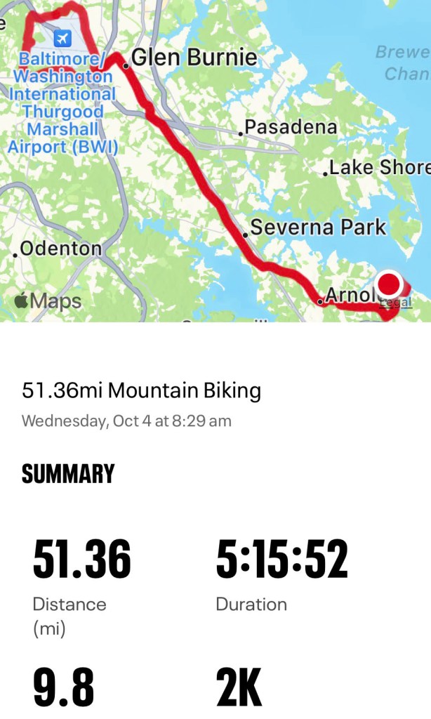
Yesterday I completed a milestone ride for myself – over 50 miles. It was 51.36 miles to be exact, according to the Map My Ride app. The ride covered three Anne Arundel County paved “Hike and Bike” trails: The Broadneck Peninsula Trail, the B&A Trail and the BWI Trail.


Broadneck Peninsula Trail
I started on the Broadneck Peninsula Trail in Cape St. Claire, which is still under construction and scheduled to be completed in the spring of next year. At this time, there are two different ways to connect to the B&A Trail from here: one is to cut up through Church Road to Arnold Station, the second is to keep straight on College Parkway to Jones Station. With both road routes, cutting back through the Bay Hills Community from the current end of the trail and then up Shore Acres Road back to College Parkway will help avoid some dangerous road riding. This time, I stayed on College Parkway instead of riding on Church Road. Staying on College Parkway is my least favorite of the two road routes, because the shoulder on College Parkway fluctuates between wide and nonexistent. College Parkway is not a safe road to bike on, which is likely one of the reasons why the county is constructing the Broadneck Peninsula Trail. The construction from Cape St. Claire to the B&A Trail at Jones Station is supposed to be completed by the spring of 2024, and the phase from Cape St. Claire to Sandy Point State Park, on the Chesapeake Bay, is scheduled for a fall 2024 completion. Today, the unfinished trail is mainly used by locals – but when complete, it should rival the B&A Trail in popularity due to the connection to Sandy Point. I envision many dozens of cycling groups from all over Maryland and D.C. using the trail on the weekends. I can picture them speeding along the Broadneck Peninsula Trail from the B&A Trail or starting from different parking lots all along College Parkway – especially Anne Arundel Community College.
B&A Trail
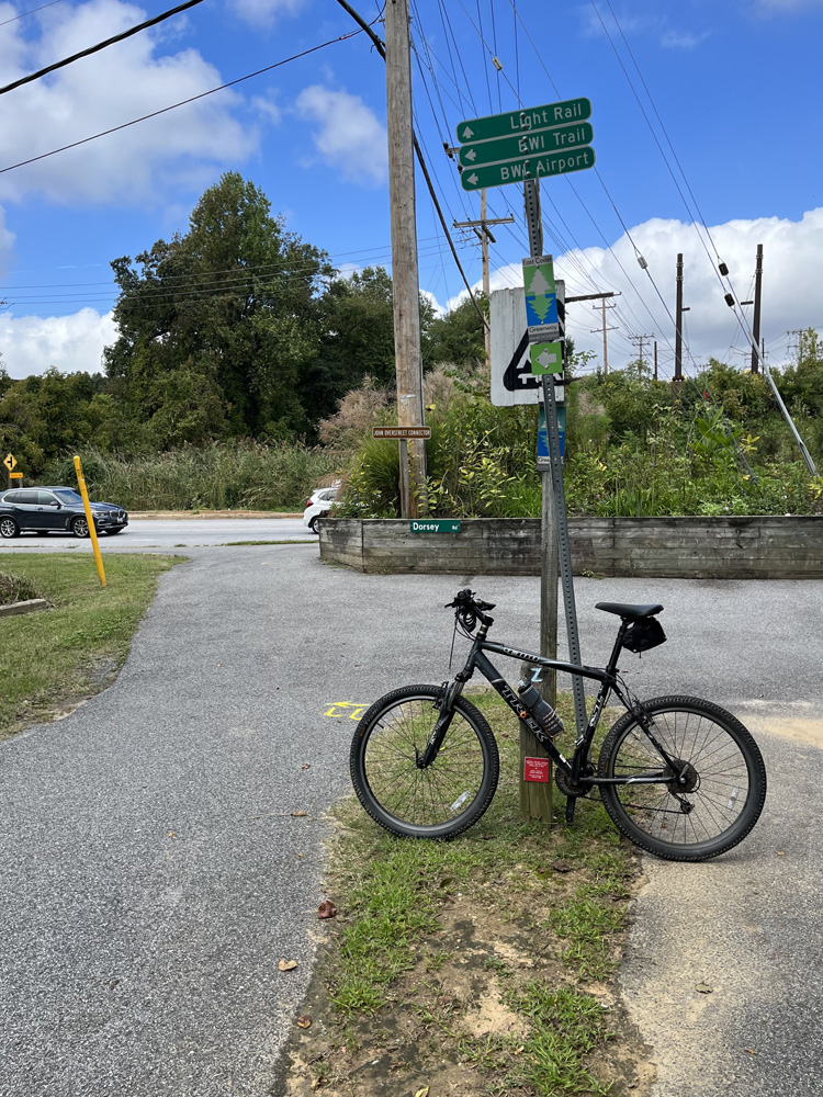
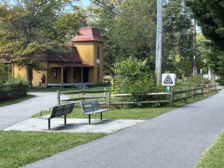
After I reached the B&A Trail at Jones Station from College Parkway, cutting through from the Jean and Edgar Parker memorial bench area on Jones Station Road, I continued north to the end at Dorsey Road. Along the way are plenty of spots to stop for a stretch or pit stop, but the best is the Earleigh Heights Ranger Station, where there are picnic benches and clean public restrooms. The Ranger Station is at the 7-mile mark of the 13.3-mile B&A Trail. At the end of the B&A at Dorsey Road begins the John Overstreet Connector trail, which cuts through Sawmill Creek Park and takes you to the woody portion of the BWI Trail.
BWI Trail
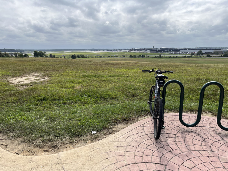
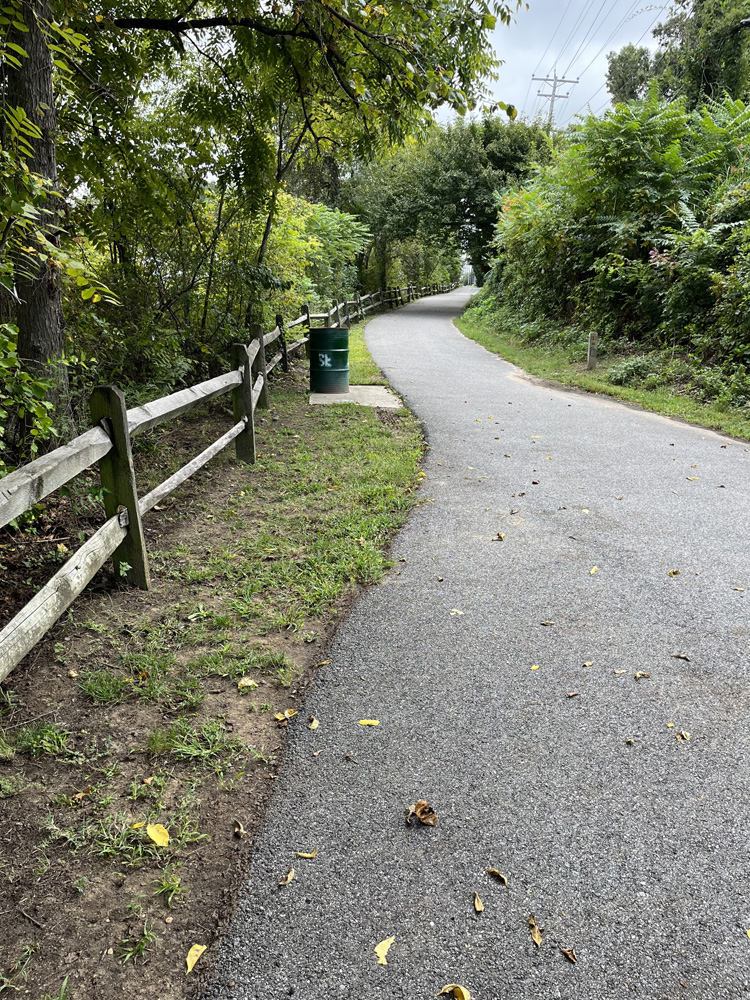
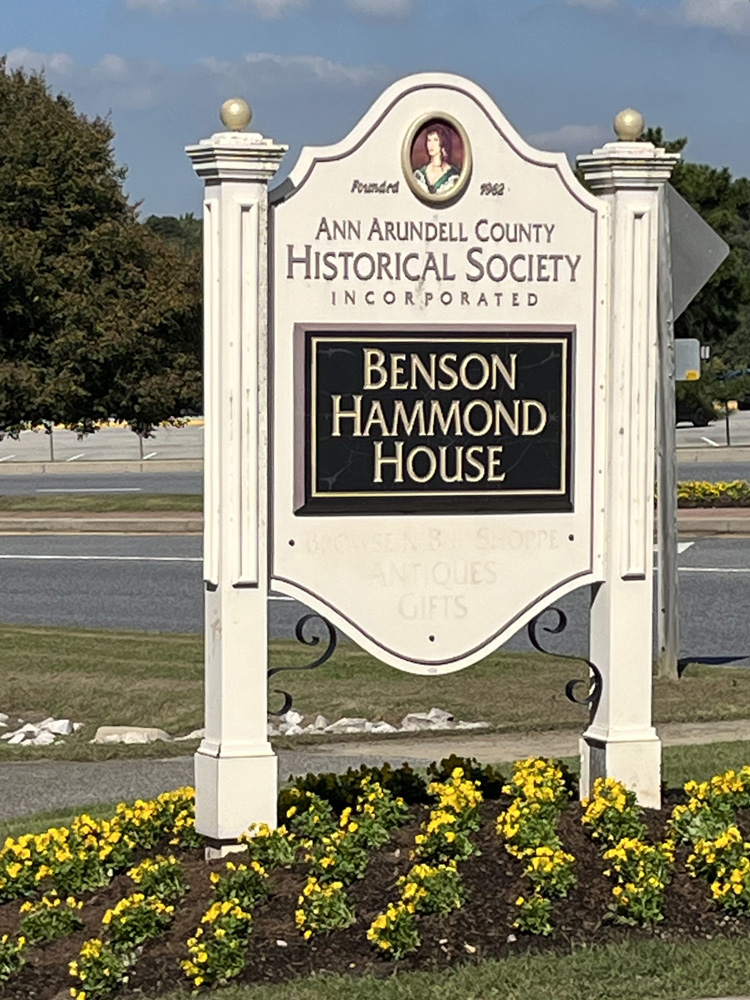
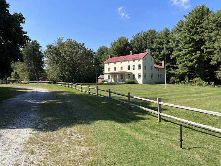
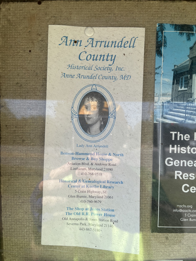
After a shady ride through the woods at the beginning of the BWI Trail, you reach the Thomas A. Dixon Jr. Aircraft Observation Area, which is a park with a nice playground and two porta-potties. This place is always buzzing with activity due to the popularity of watching aircraft land at BWI Airport. At this point, a cyclist begins the loop around the airport and will end up back at the John Overstreet Connector, which will take you back to the B&A Trail. Some interesting spots along the way include the airport overlook memorial bench area atop the large grassy hill, installed by the Friends of Anne Arundel County Trails, and just after this beautiful spot is the picturesque Andover Equestrian Center. The historic Benson Hammond House, which belongs to the Ann Arrundell County Historical Society Inc., is a little further along the trail from here and sits inside the airport loop behind an iron gate. If you noticed, yes, the spelling of the name “Ann Arrundell” is a touch different than Anne Arundel. According to the Historical Society, “In 1650, the Maryland Colony named its third county after the wife of Lord Baltimore. The colony’s records of that time show the name as Ann Arrundell. Over time, the name evolved to Anne Arundel county. Find out more about Lady Ann.” For the history buffs out there, we’ll observe that the colonial spellings of many ancient place names are often different than today. It can be confusing at times. A funny detail I noticed was the handsome sign outside the Benson Hammond House (see my photo) – even the sign maker got confused and left the second “r” off Arrundell.
After this point, for me, it was just a matter of retracing my route and adding a couple extra loops in my neighborhood to break the 50-mile mark. Next goal: 100 miles. Maybe I’ll just take this journey twice – or perhaps follow the Lifeline 100 route, which utilizes the Anne Arundel County Trails as well.
